Good morning everyone! Widespread delays are occurring across the region as a result of the snow yesterday. We have additional snow in the forecast for both Thursday and Friday; therefore, First Predictions have been issued!
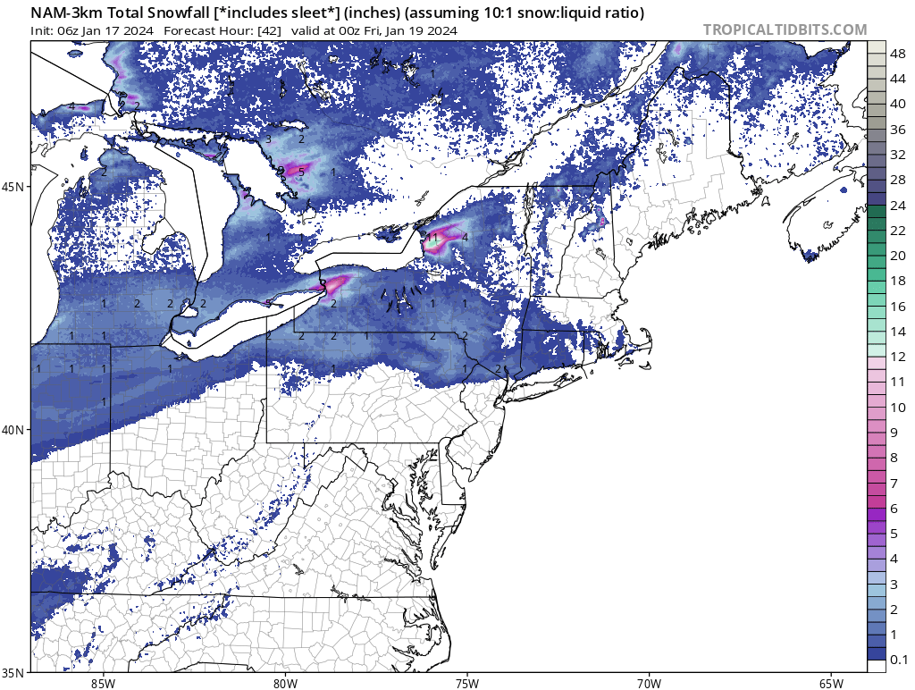
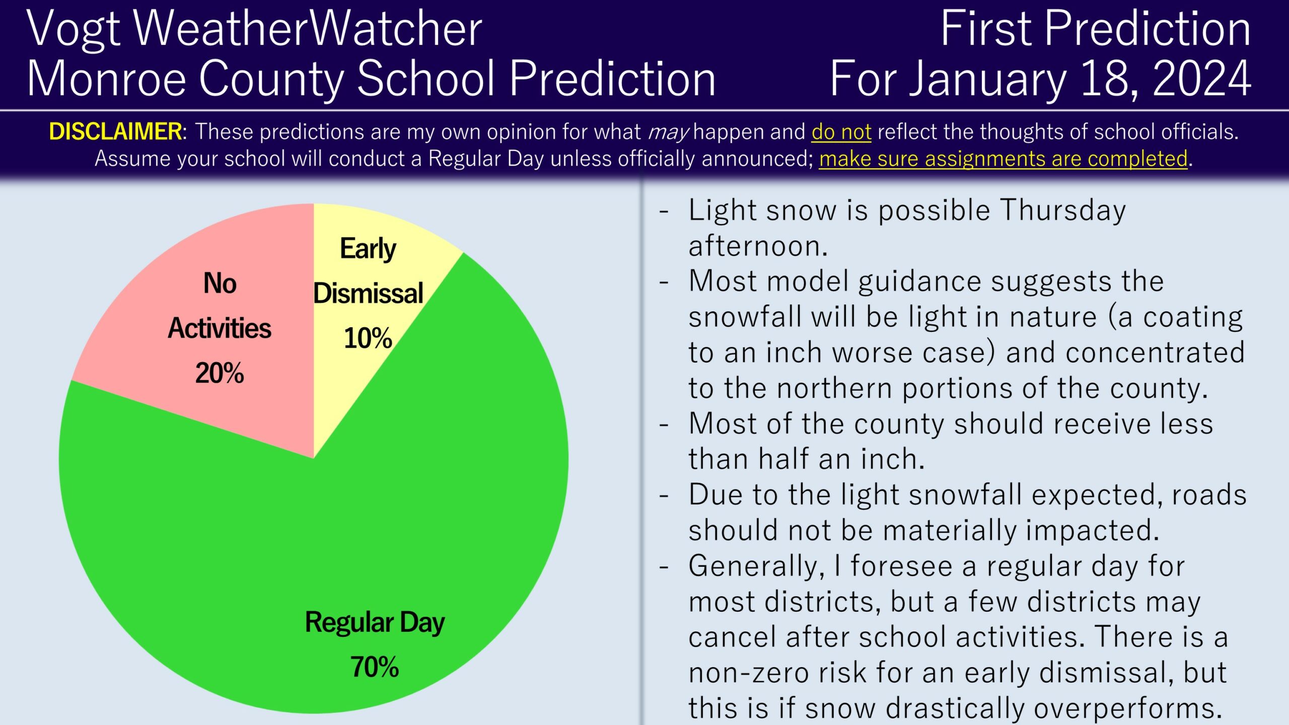
The first batch of snow is expected to be light and approach the area Thursday afternoon. A weakening wave of low pressure may generate up to an inch of snowfall in the northern parts of Monroe County, while the rest of the county will likely receive under half an inch.

The snow is more eye candy than anything and for most of the districts I anticipate a regular day. However, for areas that receive around an inch of snowfall, cancellation of after school activities becomes more likely. There is a small chance for early dismissals, but snowfall would have to be trending towards greater than one inch and be more widespread than the current forecast and model guidance would suggest.

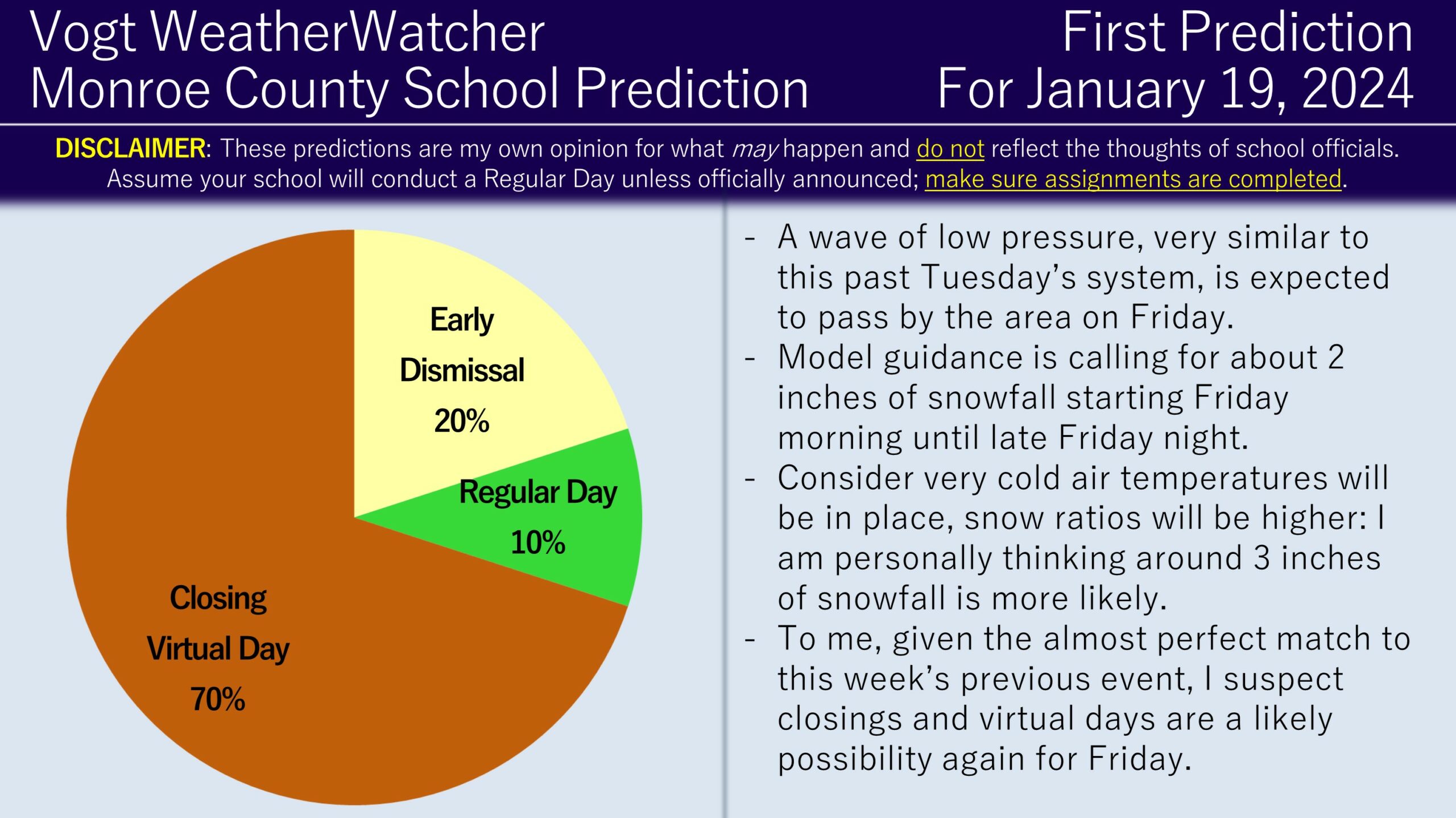
For Friday, a separate wave of low pressure is expected to pass by the region. The setup is very similar to the system we had earlier this Tuesday. Model guidance and forecasts are calling for around 2 inches of snowfall starting Friday morning and lasting late Friday night. Given the timing, at a minimum, I think the afternoon bus runs are going to be exposed to poor weather conditions. I also do not believe there is enough time to bring students in and early dismiss them as soon as possible before roads deteriorate. Therefore, I am favoring the closing scenario for Friday, with a secondary likelihood of early dismissals if the snow arrival time becomes closer to 10 AM or later. I am allocated a small percentage towards a regular day if the forecast trends lower with snowfall totals, but it is possible for this to fall off the pie in the upcoming predictions.

I plan on issuing the Second Predictions for Thursday and Friday this evening. Have a great day everyone and thank you for the support!