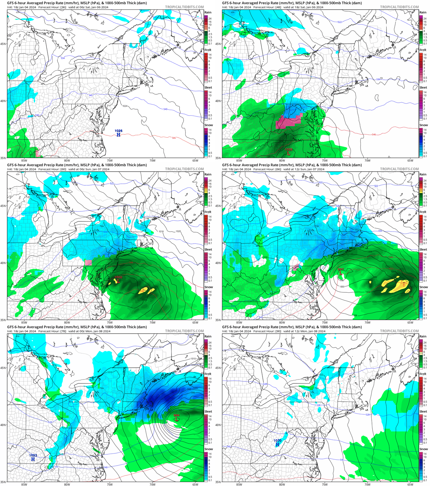
Good evening everyone! I hope you all enjoyed the holiday season and are off to a good start to the New Year. We have some snow coming this weekend; I wanted to wait a bit to see forecasts and model volatility iron out a little bit. So let’s dive into the details!
An area of low pressure is expected to pass along the Atlantic coast late Saturday into Sunday evening. A Winter Storm Watch is in effect from Saturday 10 AM until Sunday 7 PM, with 5 to 8 inches of snow expected from the National Weather Service. Model guidance and forecasts are indicating 6 to 10 inches of snowfall during this time period. Model guidance was waffling on where the heaviest axis of snowfall would occur this week, but it does appear to be trending towards our area.

I do think there is the possibility of lingering impacts to school districts into Monday. Had this storm occurred on a school day, it would have been a textbook closing scenario. Lingering effects into Monday will be determined based on snowfall totals and temperatures. Temperatures are expected to be around freezing, with some areas below and other areas above freezing. It is worth mentioning schools tend to (not guaranteed) delay the following day of a impactful event.
I plan on issuing a First Prediction for Monday tomorrow evening. Have a great rest of your day and thank you for the support!