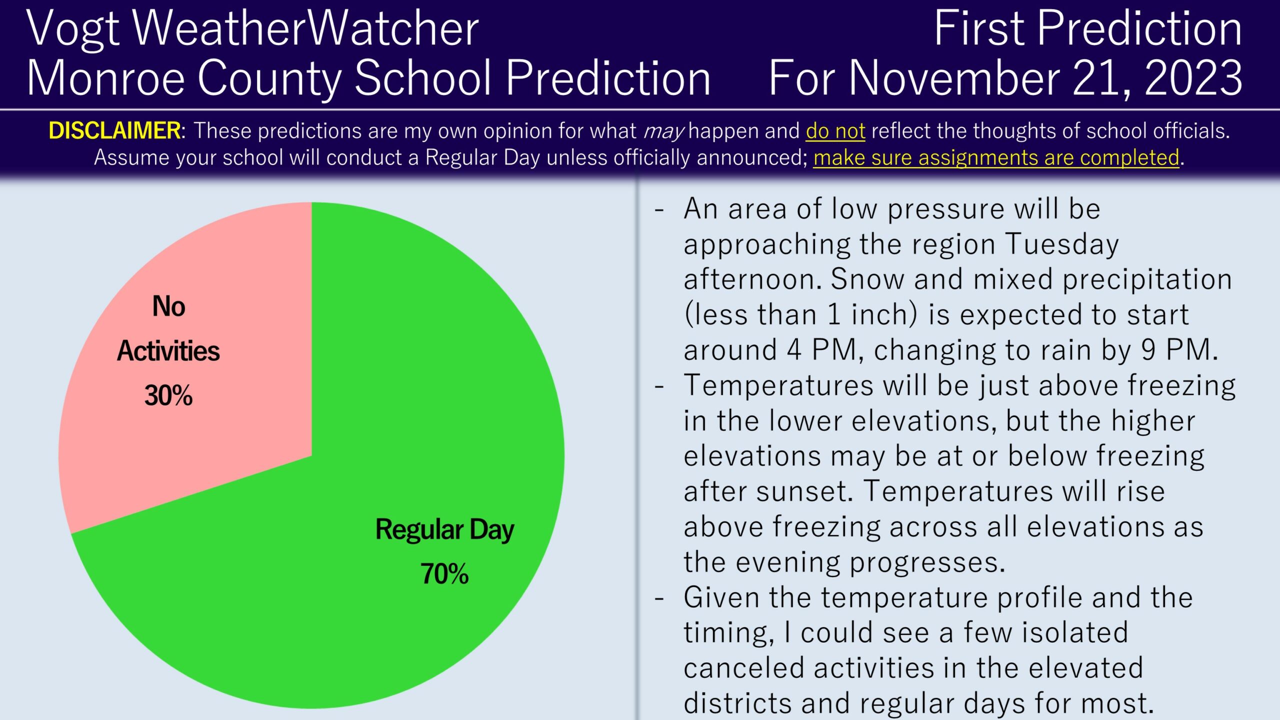
Good evening everyone and Happy Sunday! We are now in a new winter season and signs of it are approaching. We will likely see snow this Tuesday and it does mean there is a school impact risk; therefore, the First Prediction of the season has been issued!
An area of low pressure will be approaching our region Tuesday afternoon around or just before sunset (around 4 PM). As the system arrives, snow and mixed precipitation is likely to start but will gradually change over to rain by 9 PM. Accumulations are anticipated to be under one inch for the area. Temperatures Tuesday morning will be below freezing, but will rapidly rise to above freezing for most before the precipitation arrives. By sunset, most lower-elevated areas will be above freezing, while elevated locations are forecast to be near to slightly below freezing. As the evening progresses, temperatures will rise above freezing for all locations and will remain this way well into the next day.
To me, given the temperature profile and the amount of wintry precipitation expected, I suspect most school districts, particularly lower-elevated ones, will probably stick with a regular day. However, I can see elevated districts potentially canceling activities as a precaution. For now, I am going with 70% Regular Day, 30% No Activities but will adjust accordingly as we get closer. I anticipate on issuing the Second Prediction tomorrow evening and the Final Prediction Wednesday morning. Have a great day everyone and thank you for the support!
Curious about getting school predictions for your local county four days in advance? Check out the Premium Site! It provides hourly predictions for 12 counties across NEPA! Additionally, it provides weather forecasts, road impacts for commutes, power outage risks, and long range weather risks (6 days into the future). It’s also a great way to support the site.
