Good evening everyone! Attached is the FINAL Prediction for Tuesday, December 17, and the Second Prediction for Wednesday, December 18, 2019.
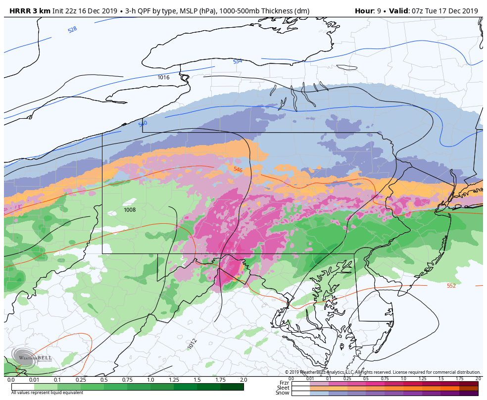
A Winter Storm Warning is now in effect from now until 6 PM Tuesday. 2 to 4 inches of snow and up to 0.25 inches of ice is expected according to the National Weather Service. Personally, I still think 0.2 to 0.4 inches of ice is a more realistic forecast. Regardless, moderate to heavy snow is expected to develop around midnight tonight and will last until 4/5 AM Tuesday morning. From there, freezing rain will take over and will be the predominate precipitation type for the remainder of the day. I honestly do not see a way of how schools could squeeze in the school day, which is why I am all in on the Closing scenario. Students should still complete their homework as if they will be having a Regular Day as I am not responsible for their grades or attendance.
After the main event Tuesday, any slush on roadways has the potential to freeze Tuesday night, creating black ice for Wednesday morning. In addition, schools will likely need time to recover from tomorrow’s weather; school districts historically delay the day after a significant winter event. I do favor the Delay scenario; however, a Regular Day is not off the table, especially if the flash freeze does not pan out. Elevated districts have a non-zero chance for closings if lingering impacts are severe enough into Wednesday morning.
The Final Prediction for Wednesday will be issued tomorrow night. Thank you all for the support and have a safe evening.


