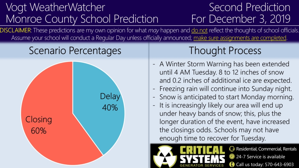
Good evening everyone! Attached is the Second Prediction for Tuesday, December 3, 2019.
So far today, the area has received significant ice accumulations with multiple accidents reported throughout the region. Based on how model guidance has trended, the National Weather Service is expecting an additional 0.2 inches of ice from now through the overnight hours. In addition, there is an increasingly likely that our area will be located under heavy bands of snow during the day tomorrow; consequently, 8 to 12 inches of snowfall is expected during this time period.
The other noteworthy change is the Winter Storm Warnings have expanded south into the Lehigh Valley and, more importantly, have been extended until 4 AM Tuesday. 4 AM is usually when districts begin their initial evaluations on road conditions. Considering this would allow less time for roads to improve and with more snow to deal with, a rise in the closing odds has occurred and is now the most likely scenario for Tuesday.
I highly urge you to avoid unnecessary travel from now until Tuesday morning as road conditions continue to remain poor. The Final Prediction for Tuesday will be issued tomorrow evening as we will get to see how much snow we actually receive. Schools could very well delay the night before then change to closings in the morning. Stay safe everyone!
If you are looking for unique Christmas gifts, check out the check out the site’s merchandise and Premium site; this helps keep the service running. The Premium site is at a 20% discount from now until Tuesday 12/3 ($22.99 for the season). Your support is appreciated. 🙂

