Good evening everyone! I hope your week is off to a good start.
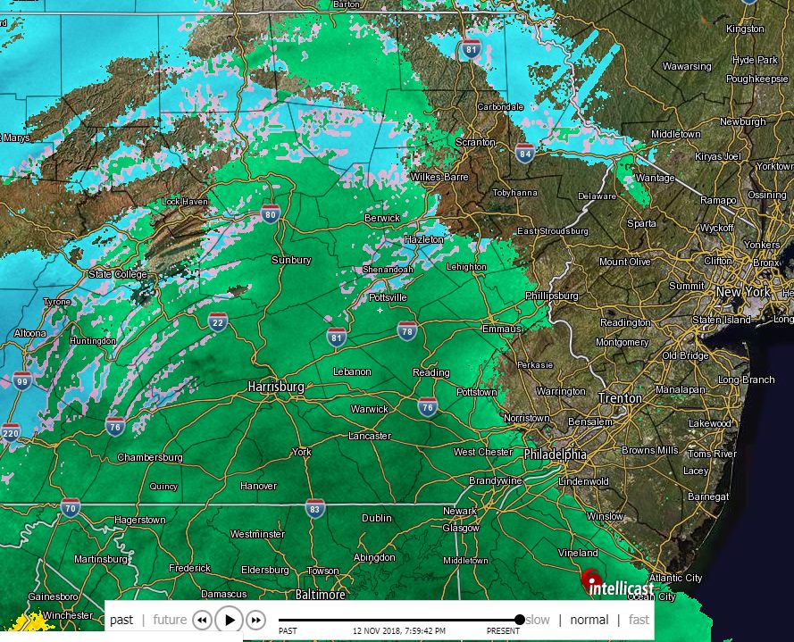
Rain and snow showers are beginning to enter the region. Most of this precipitation is not reaching the ground as the air is dry at the moment. However, “visible” precipitation is expected within the next few hours. The higher elevations may see snow to start, but a conversion to rain is expected shortly thereafter, limiting accumulations. Those located to the northwest of Scranton and along the PA-NY northern border might see a coating to 2 inches of snow.
As for Thursday/Friday, model guidance is gradually agreeing on the idea of winter weather for our area, especially for the higher elevations. I do expect accumulations from this event and possible school reactions. This system will likely produce a combination of snow, sleet, and freezing rain; however, most model guidance treats all frozen precipitation as snow, which is why you may see high snowfall outputs from these models.
Since model guidance and forecasts can still change significantly at this range, we should get a better idea of what to expect by tomorrow evening or Wednesday morning. Premium members should note that the graphics are beginning to reflect this event. If you have not checked out the Premium site, I highly recommend to take a look! http://
I will continue to provide updates as needed, but I suspect I may need to start issuing prediction graphics tomorrow night or Wednesday morning. Have a great evening everyone and thank you for the support!

