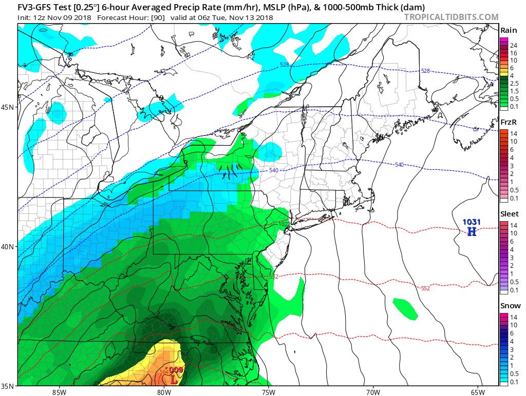
Our attention then turns towards Tuesday, where an area of low pressure is expected to ride along the East Coast. The storm track is too far west for widespread snow for our area. I would not, however, rule out a few snow showers to start before a quick changeover to rain, particularly for the higher elevations.
I do want to mention some of the graphics on the Premium site are beginning to show winter weather risks on Tuesday for areas north of Mount Pocono. If you have not signed up yet, I highly recommend to do so! The site provides school predictions, weather forecasts, projected road impacts, and more for 12 counties across NE PA using high quality and mobile-friendly images. There is a link on the Premium homepage that takes you to some sample graphics; have a look! https://34.73.99.199index.php/premium/
I will make sure to keep you updated as more information becomes available. Have a great evening everyone and thank you for the support.

