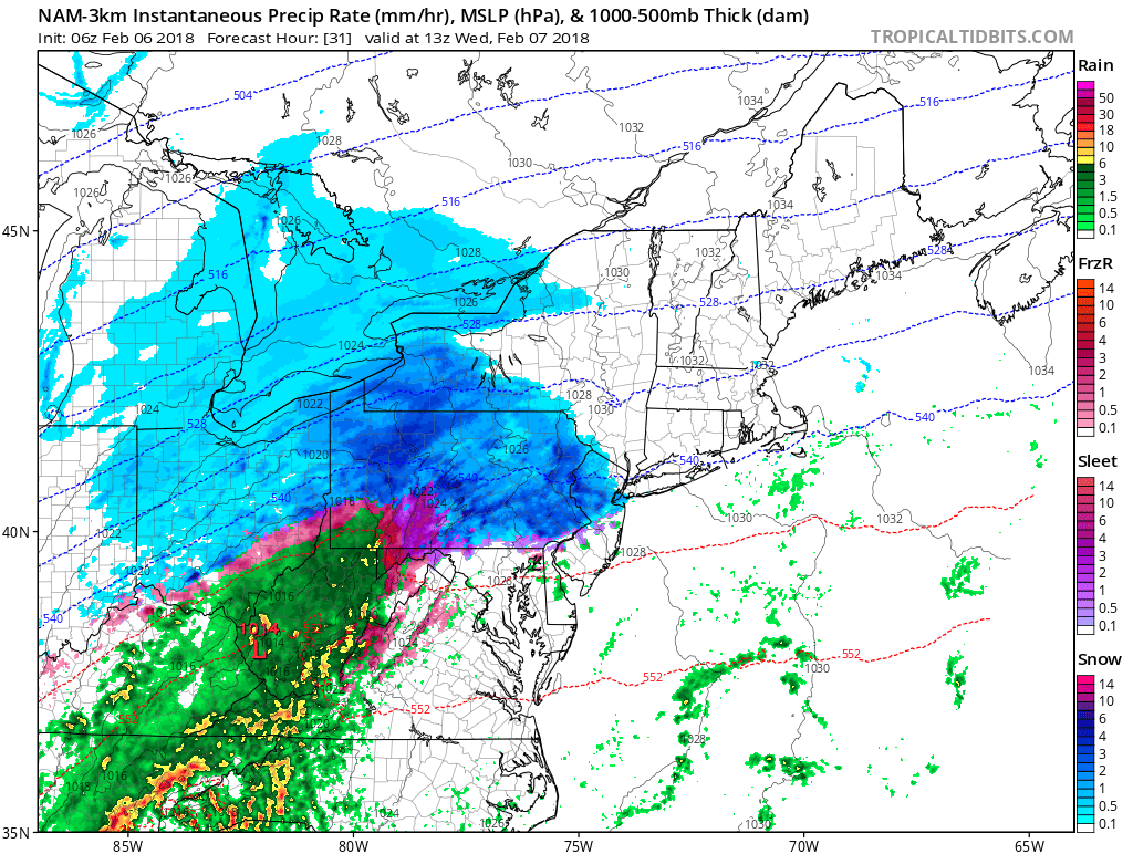
Good morning everyone. Attached is the Second Prediction for Wednesday, February 7, and the First Prediction for Thursday, February 8. We have a lot to discuss, so let’s get to it…
The area remains under a Winter Storm Watch from 6 AM Wednesday until midnight Wednesday night; the National Weather Service continues to expect 4 to 7 inches of snowfall and around a tenth of an inch of ice. However, I have seen discussion within the meteorology community that there is more energy associated with the incoming system than modeled, which could cause snow totals to be on the higher-end of, if not exceed, forecasts.
In addition, model guidance is trending towards a slightly earlier start time (raw data suggests 8 AM, the NWS forecast has 6 AM). This shift has caused the early dismissal odds to decrease for Wednesday.
This system has a lot of similarities to last Sunday’s/Monday’s event, but there are two primary differences: first, we are dealing with more frozen precipitation across a larger area; and second, the precipitation is expected to last a few hours later (midnight Wednesday night) than the last system (10 PM Sunday night). Combine this with temperatures around freezing on Wednesday, then crashing into the 10s by dawn Thursday, we are possibly looking at a worse flash-freeze event than Monday morning. Given that most mountain schools (except Pocono Mountain) closed due to Monday’s flash freeze, I suspect more widespread closings are on the table for Thursday due to the lingering impacts of tomorrow’s event. This is why I am slightly in favor of closings for Thursday.
I plan on issuing Wednesday’s Final Prediction and Thursday’s Second Prediction sometime this late-afternoon or early evening. Have a great day everyone and thank you for the support.


