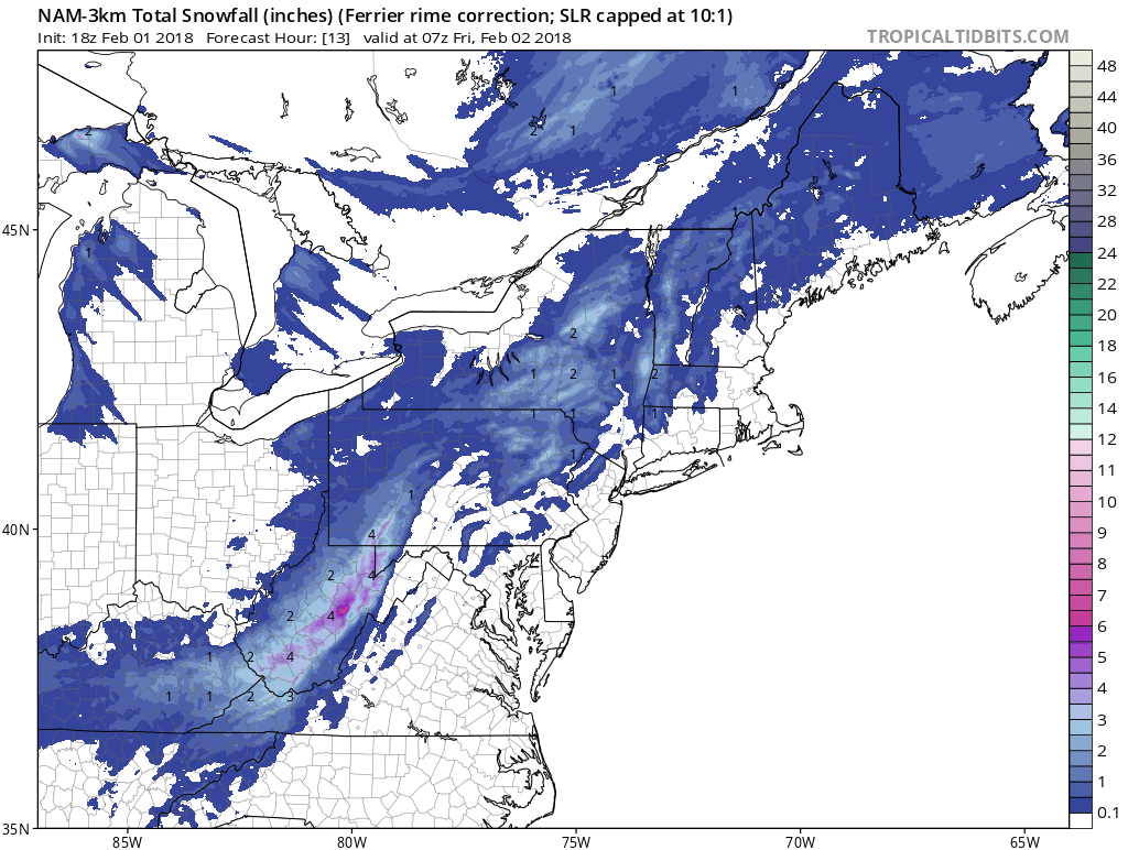
Good evening everyone. Attached is the FINAL Prediction for February 2, 2018.
A cold front is expected to pass through the area tonight; rain will change over to snow. Some higher elevations may already be experiencing snowfall. I am expecting a trace to one inch of snow for the valleys and 1 to 2 inches for the mountains. This will be an elevation-dependent event; the higher up you are located, the more snow is expected, the icier the roads could be, and the higher the delay odds.
Overall, with light snow expected and with temperatures quickly falling below freezing in the early morning hours, I am concerned for icy roadways to occur, hence my favoritism towards the delay scenario. However, temperatures will be marginal for accumulations when most of the snow falls, particular for the valley locations, so I do see a Regular Day risk. Conversely, if roadways freeze up to where they are impassable (which I could see occurring for the highest elevations), a closing may not be out of the question. Once again, every inch of snow and every degree change on the thermometer will determine how schools react in the morning.
Regardless of how schools open tomorrow, please allow extra time if you are traveling or commuting tomorrow. Have a good evening everyone and thank you for the support as always.

