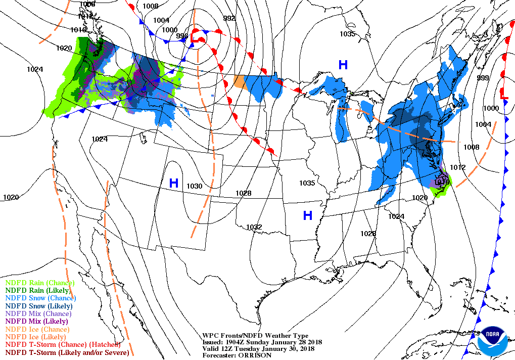
Good evening everyone! Attached is the First Prediction for January 30, 2018. We have a lot to talk about that this graphic can’t explain by itself, so let’s get to it…
We have two separate systems that will be flirting with our area. The first system is heading out to sea, which will likely (and not by much) keep snow away from our area Monday night/early Tuesday morning. Then we have a second system that will be approaching the region Tuesday afternoon but is expected to decay upon arrival.
What is not helping this situation is that are the numerous possibilities of how much and when the snow falls. To paint the picture…
— The National Weather Service’s forecast would argue for closings or delays because one inch of snow would occur in the middle of the bus run on Tuesday morning.
— One model’s output has no snow at all for the area.
— Another model’s output has snow brisking the area overnight Monday night due to the “out-to-sea” system, which could result in delays and closings.
— Other model guidance suggests light snow and an intimidating radar during the late-morning hours Tuesday. Of all scenarios, this is the one I currently favor.
I really don’t think we will have a true grasp on what and how much will occur until tomorrow night, which is also when I plan on issuing the Final Prediction. I do not intend on issuing a Second Prediction tomorrow morning, unless forecasts and models come into better agreement. For those wondering, I did not include a delay option in the prediction because I think the delay probabilities are currently low and I do not want to turn the graphic into Bob Ross’s paint palette.
Have a great evening and thank you for the support as always!

