Good evening everyone. Attached is the Second Prediction for tomorrow’s light snow event.
Overall, the general theme of a one-inch snow event has remained the same. However, the system heading our way for tomorrow is generating more precipitation than modeled in the Midwest. This tells me the radar should have more snow over Central PA during the morning hours. This is important — if there is snow approaching NE PA around 10 AM, this may prompt schools to early dismiss rather than cancel activities. This is why the Regular Day odds have decreased. Schools in the past have reacted to the radar before.
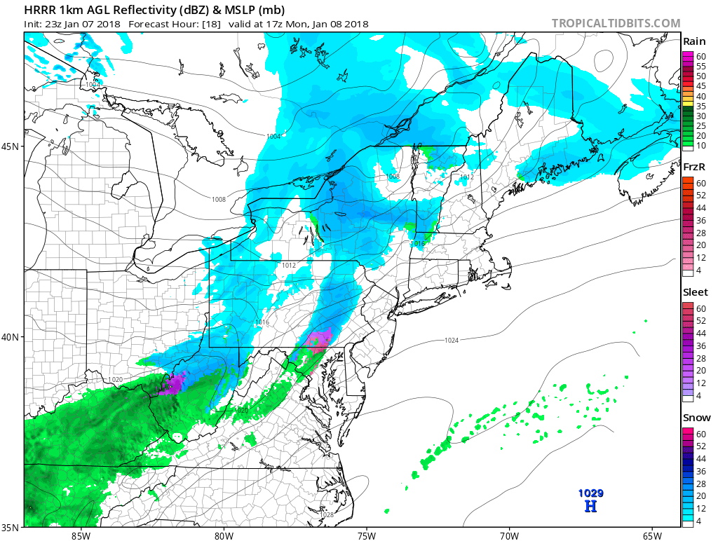
The HRRR is one of the short-range models meteorologists use. Shown below, it has snow approaching NE PA around 10 AM…

…entering Monroe County around noon.

The timing still remains the number one hurdle to this prediction. Any shift, even by an hour, could be enough to change how schools react. Even though the snowfall is expected to be around an inch, afternoon and activity bus runs will still be impacted to some degree. The start and stop times of an event are generally more important than the actual precipitation amounts.
The Final Prediction will be released tomorrow morning. Have a great evening and thank you for the support.

