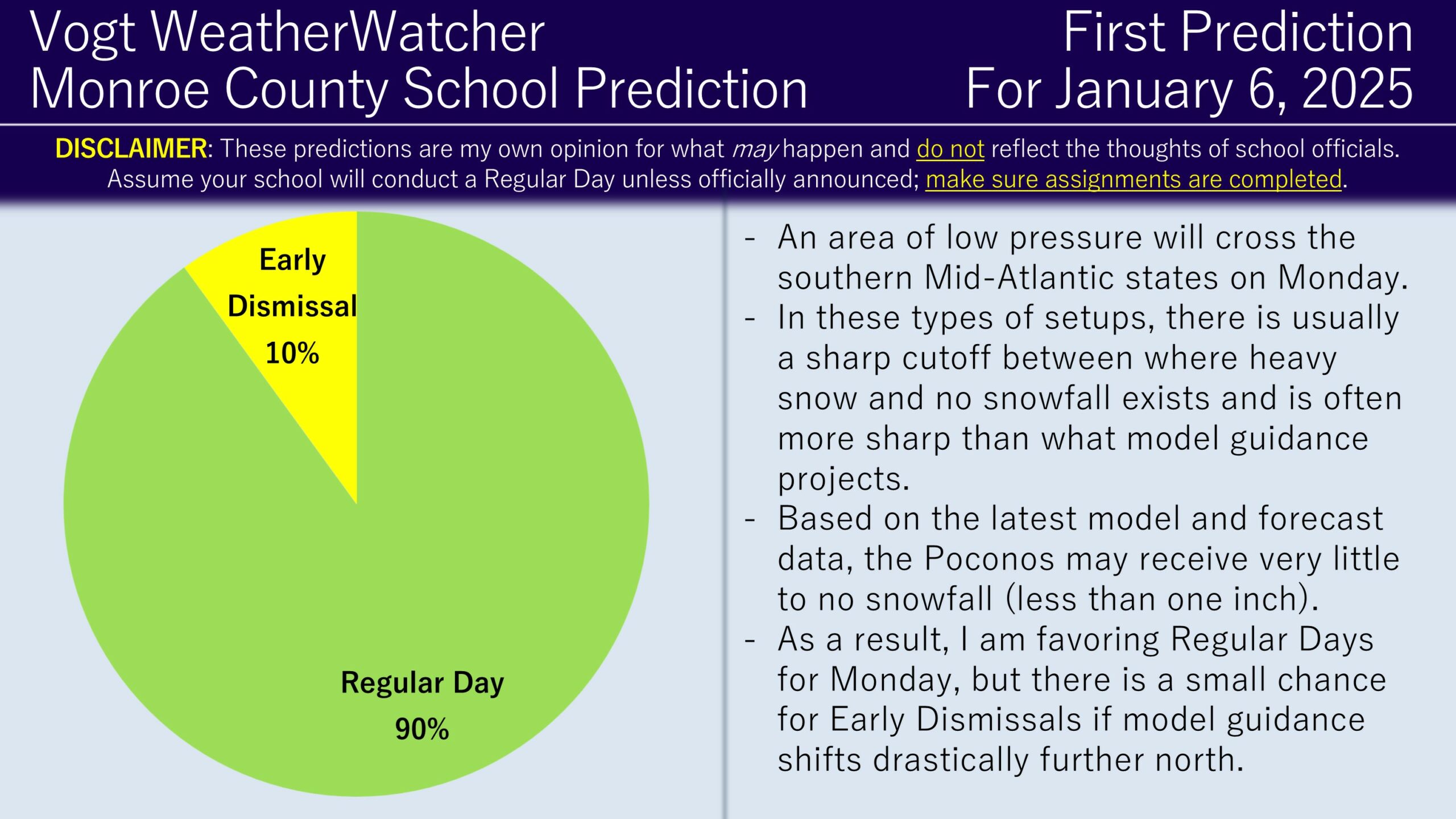
Good morning everyone and Happy Saturday! I hope your holidays went very well. Snow is possible on Monday and as a result the First Prediction is out!
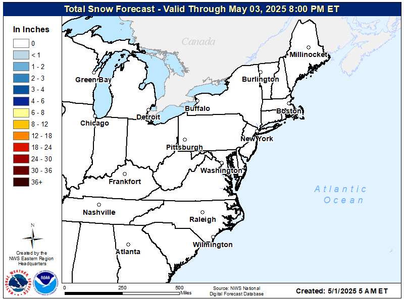
An area of low pressure will be passing through the southern Mid-Atlantic states on Monday, bringing noteworthy and impactful snow to areas around Washington D.C. The weather pattern that will set up this system will likely result in a cutoff between areas that will and will not receive snow; the National Weather Service regional snowfall map illustrates this idea.

Model guidance and forecasts sometimes have a tendancy of underdoing how strong the snow/no-snow cutoff is, mostly due to how potent dry air is in cutting down snow totals. As a result, I do not believe the Poconos will receive that much snowfall, if anything. I personally am expecting less than an inch for the area. Therefore, I think there is a strong case to be made for Regular Days. Early Dismissal risks are not completely off the table if snowfall ends up very siginificantly more north than expected, but I think this is unlikely.
I will be posting the Final Prediction tomorrow evening unless the forecast materially changes between now and then (in which a Second Prediction would be issued). Have a great rest of your day everyone and thank you for the support!

Curious about getting school predictions for your local county four days in advance? Check out the Premium Site! It provides hourly predictions for 12 counties across NEPA! Additionally, it provides weather forecasts, road impacts for commutes, power outage risks, and long range weather risks (6 days into the future). It’s also a great way to support the site.