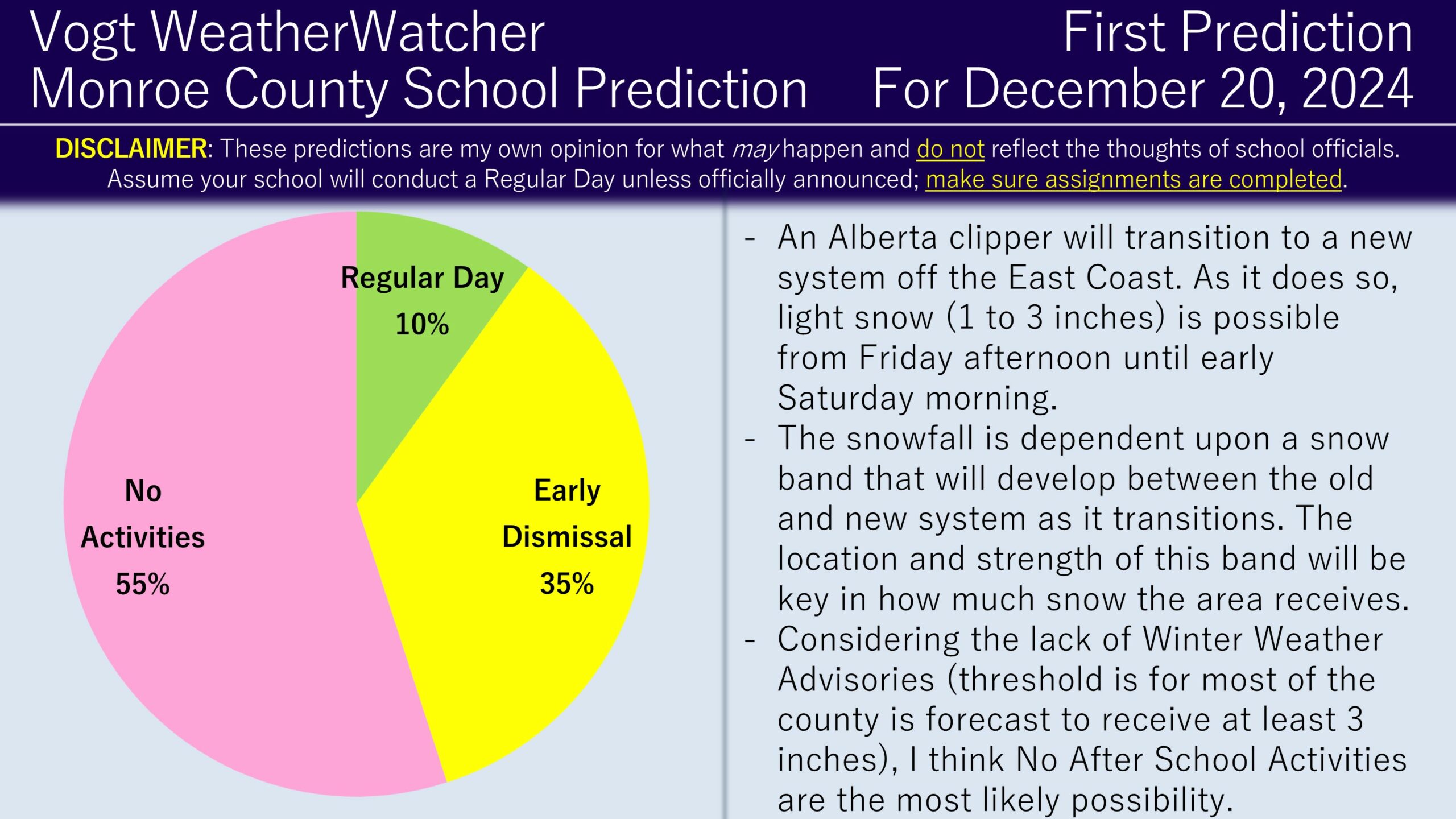
Good evening everyone! I hope your week has been going well. We have some snow in the forecast for tomorrow; as a result, the First Prediction for Friday has been issued.
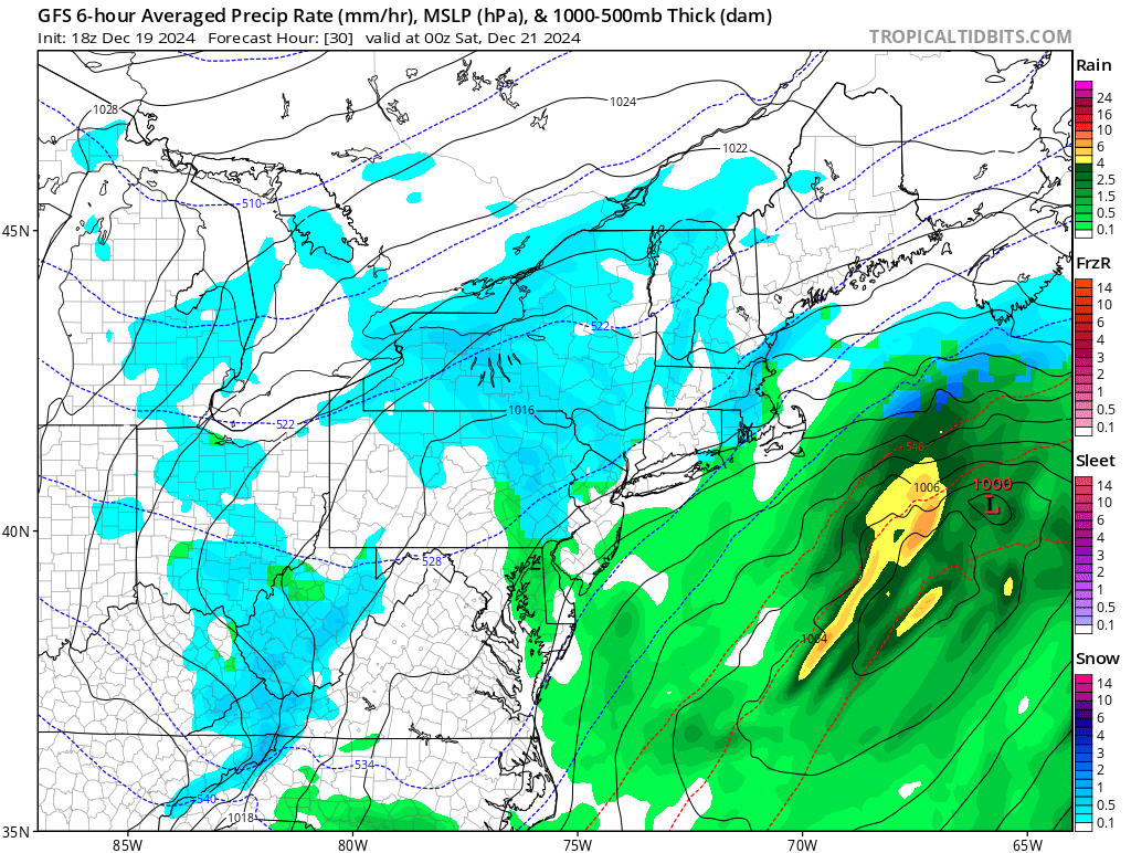
An Alberta Clipper is expected to transition to a system off the Eastern coast Friday afternoon into early Saturday morning. As it performs this transition, there will be a snow band that develops between the old and new system. While this is not expected to be a major event, some accumulations are anticipated under this band. Most model guidance and forecasts are calling for about 1 to 3 inches, but there is a lot of variation. Some forecasts are calling for upwards of 3 to 4 inches if the ideal conditions setup with the snow band’s strength and location; other model guidance is suggesting little to no snowfall could occur due to dry air. There is even disagreement on when exactly the snow will start, ranging from around noon to 6 PM, if any snow at all.

Considering the large variances and low confidence, my go-to approach is something in the middle is probably the most likely outcome: a snowfall start time around 2 PM and 1 to 2 inches of accumulations. Considering the timing, but also the fact no advisories (as of this writing) are in effect, I suspect schools may end up canceling after school activities, with early dismissals as a secondary outcome. Regular days are not completely off the table, particularly if the snow turns out to be less impactful and prevelent.
I plan on issuing the Final Prediciton early tomorrow morning, which hopefully we can have better confidence and observations to indicate how this event will pan out. Thanks everyone for the support and have a wonderful day!
Do you want predictions up to four days in advance? Looking for a last-minute Christmas gift? Check out our Premium Site! The site provides hourly predictions for 12 counties across Northeast Pennsylvania, covering the Poconos, Scranton, and Lehigh Valley areas. It also provide weather forecast data, observations, and long range outlooks. Check it out!
