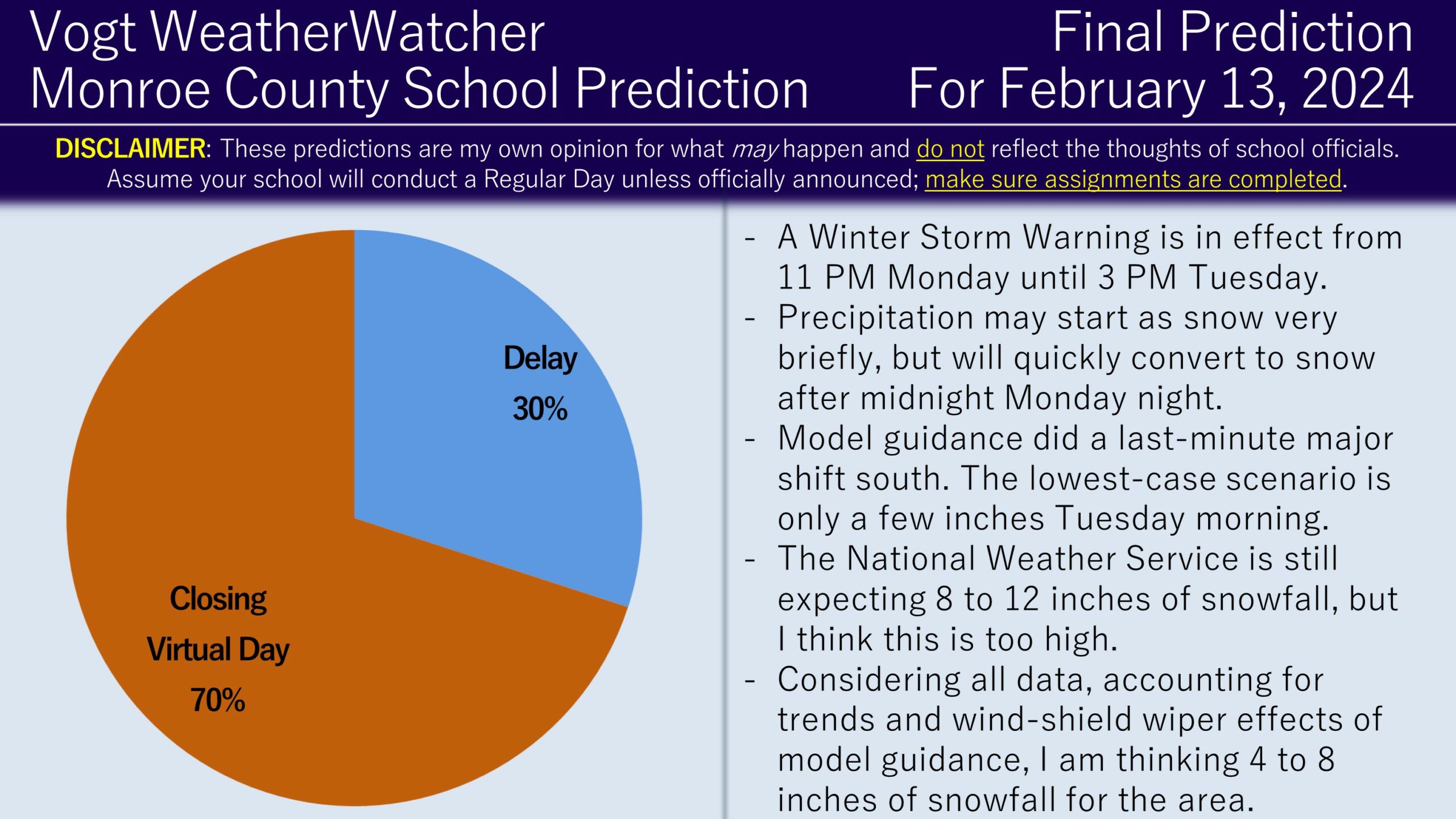
Good evening everyone. I hope your week is off to a good start. Attached is the FINAL Prediction for Tuesday, February 13, 2024.
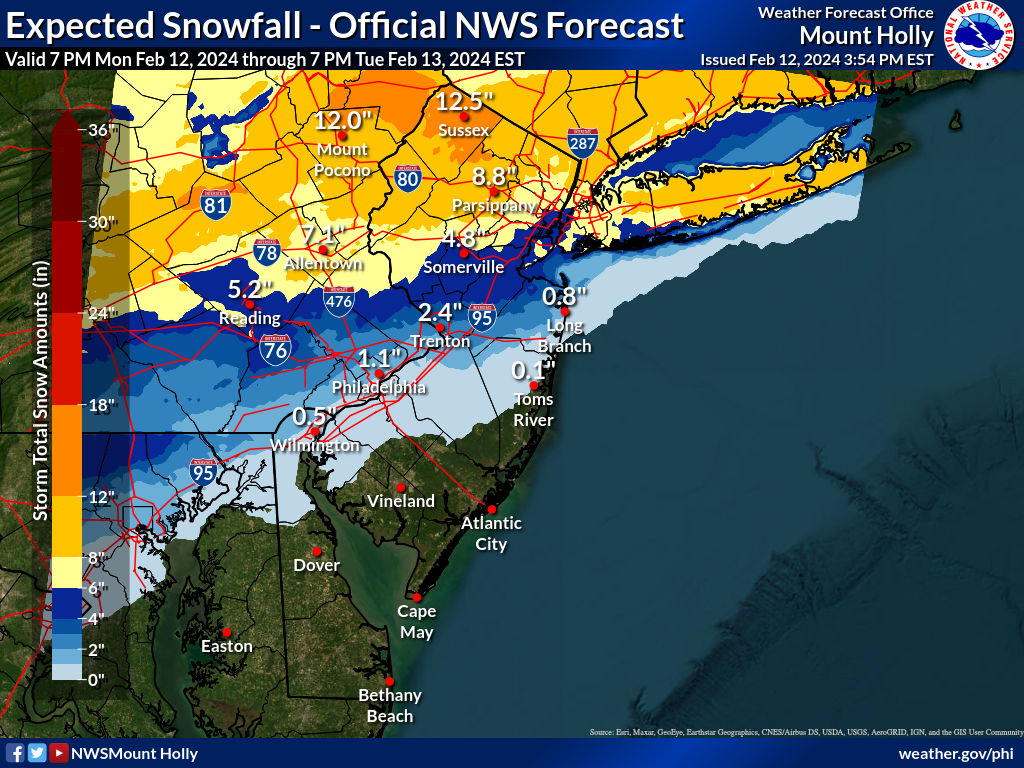
Over the last 24 hours, model guidance has been increadily volatile in where the heaviest axis of snowfall would end up. This time yesterday, it was suggesting the heaviest snow (12″) would end up along the NY/PA border. This late-morning and afternoon, it then suddenly shifted the axis to near the Philadelpha area, which would result in only a few inches of snow at best for the Poconos. I have never seen this drastic of a shift within 24/36 hours of a storm in a very long time. Usually confidence is high at this point with regards to snowfall expectations, but that is not the case here. Interestingly, the National Weather Service and some other private outlets are sticking with the more northern idea. The National Weather Service forecast as of 3:54 PM is below; they, as mentioned in their Winter Storm Warning, are expecteding 8 to 13 inches of snowfall for the area.
Model guidance is arguing a completely different story. Below are a few samples of model guidance suggesting a much further south/less snowier solution for the Poconos. You can see how some scenarios produce very little snowfall for the region, particularly the northern Poconos.
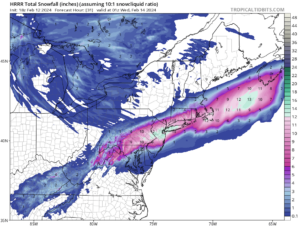
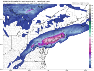
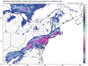
The challenge is this southern shift just recently occurred and we are less than 24 hours from the event, so it is hard to decipher if this is just a temporary “blip” or if this an actual trend. Given very high forecast uncertainty for this close of a timeframe and after examining very short-range model guidance, I suspect the region will end up somewhere in the middle of outcomes: not in the jackpot 12″ zone, but not a complete bust either. Therefore, I am anticipating 4 to 8 inches of snow from midnight tonight until the afternoon hours on Tuesday. As a result, I still favor the closing scenario for Tuesday, but it’s not as high in confidence as yesterday.
Some school districts have already announced closings for tomorrow; assuming the current National Weather Service forecast holds, I suspect more may make closing calls tonight. However, I also would not be surprised if some districts wait until the morning to make a decision. I am holding off on the Final Prediction for Wednesday until Tuesday afternoon once we see what actually falls, given the amount of uncertainty. Keep an eye out for school alerts over the next 12 hours, be safe, and have a great rest of your evening everyone. Thanks again for the support!
Want to help out the service? Check out the Premium Site! It provides hourly school prediction updates up to four days in advance for 12 counties in NEPA, including the Scranton area, the Poconos, and the Lehigh Valley. It also includes weather forecasts, power outage risks, commute impacts, and long range outlooks. Membership lasts for a full year, which means any membership that starts now will continue into the beginning of the next winter. Check it out!
