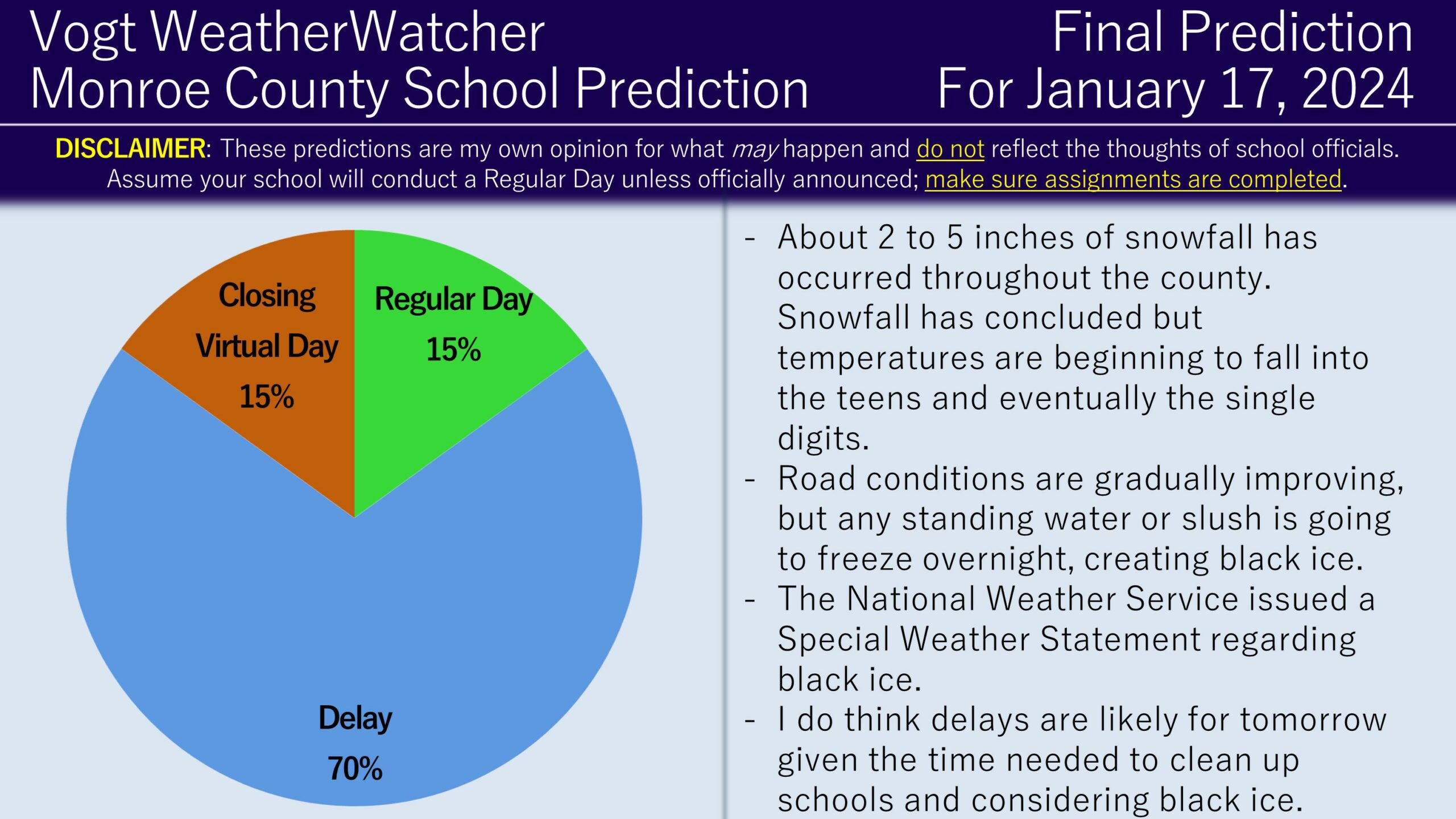
Good evening everyone and Happy Tuesday! Attached is the FINAL Prediction for Wednesday, January 17, 2024.
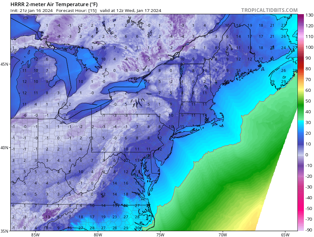
About 2 to 5 inches of snow accumulations has occurred throughout the county and snowfall is tapering off. Temperatures are currently in the 10s and are expected to drop down into the single digits overnight. Roads are gradually becoming more plowed, but any standing water or slush is likely to hard refreeze overnight, creating the potential for black ice. The National Weather Service has a Special Weather Statement issued mentioning this risk. Additionally, I do think school districts will need some time to cleanup buildings and buses, increasing the arguments for a delay.

There are a few more details behind the updated prediction. This morning’s Second Prediction trended more conservative (to some districts delaying and other districts going in on time) because it appeared on radar that the region was going to bust low on the snowfall forecast. This was due to a dry slot that was appearing on radar. Later in the day, I found out that the State College, PA weather radar site was down, which created this false appearance of a dry slot. In actuality, snowfall developed and continued as originally forecast. Therefore, the delay odds have increased back up.
I did introduce a small probability for closings and virtual days in case black ice is severe tomorrow morning. I also think there is a possibility for regular days to happen if road conditions improve faster than expected and black ice doesn’t form as much as anticipated, particularly for the areas which received the lower-end of snowfall totals. One important thing I want to note is I do not believe school districts will delay tomorrow based on the cold temperatures/wind chills by itself (ignoring the fact the cold temperatures will create some black ice spots). In order for school districts to delay due to cold temperatures, typically a Wind Chill Advisory needs to be issued; an advisory is issued when the majority of Monroe County is expected to experience wind chill factors at or below -15 degrees. Mount Pocono, one of the most elevated parts of the county, is expected to get down to -12 and the rest of the county will be warmer than this. Since there is no advisory, I am not anticipating schools to be delayed due to wind chill factor, but rather due to the reasons stated earlier.
I am keeping close tabs on Friday as a similar situation to today may unfold, with possible early impacts on Thursday. I am anticipating the need to issue predictions starting tomorrow morning. If you want access to earlier predictions for your local county in NEPA, I highly recommend checking out the Premium Site! It is also a great way to support the service.
Be on the lookout for alerts tonight into tomorrow morning. Thank you for being the awesome community you are and have a great day!
