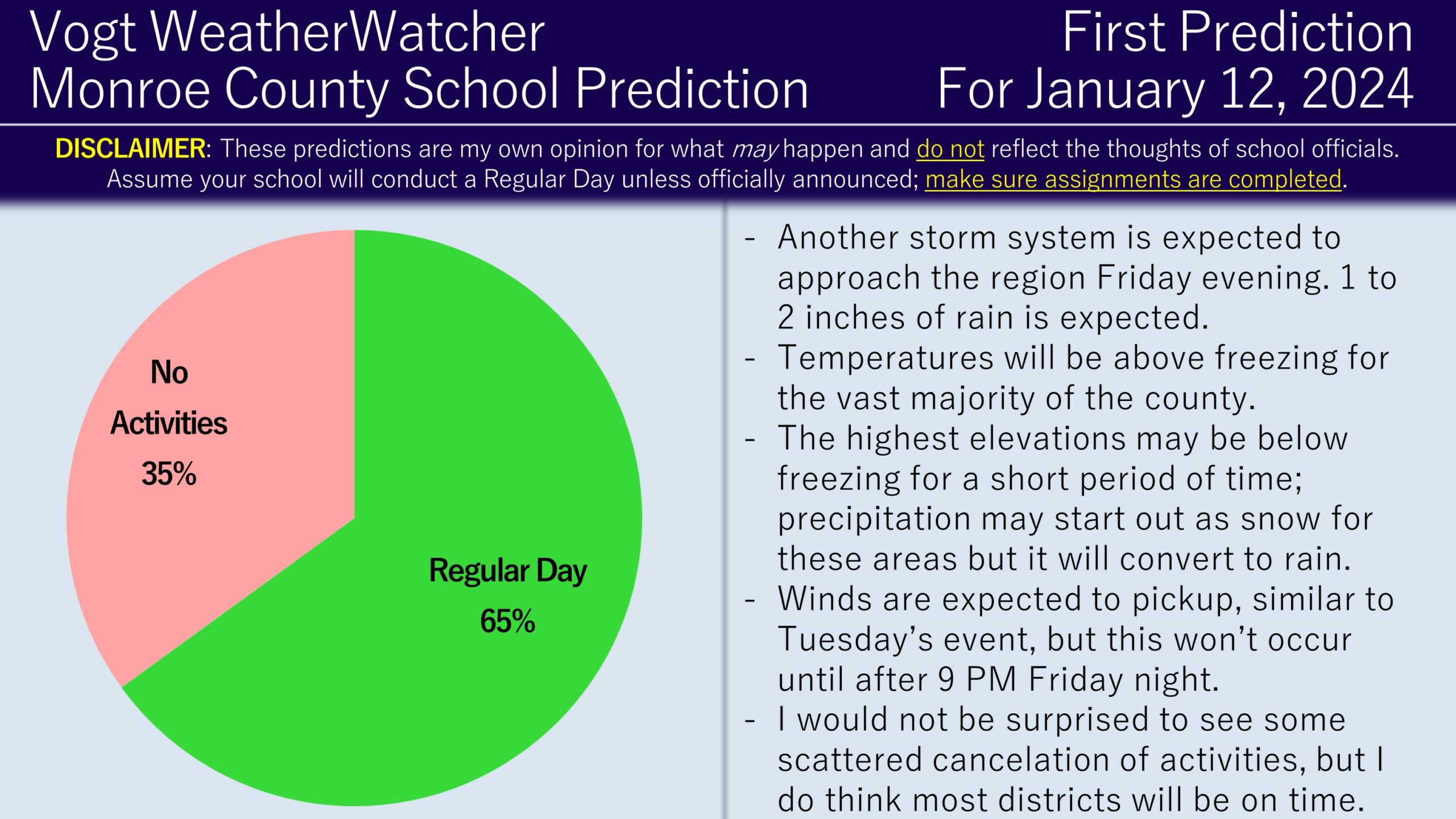
Good evening everyone and Happy Wednesday! Attached is the First Prediction for Friday, January 12, 2024.
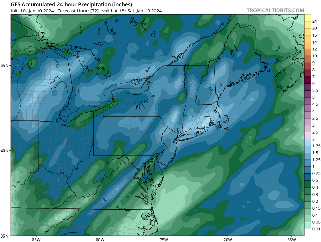
Another storm system will be approaching the region late on Friday and will be a very similar setup to the Tuesday/Wednesday system we had this week. Most locations will be above freezing when the precipitation arrives around 5/6 PM. However, the highest elevations may be below freezing for a few hours at the onset. As a result, a coating to an inch is possible in these elevated areas. Precipitation will continue into Saturday, resulting in 1 to 2 inches of rainfall with locally higher amounts (model projection of this below). Winds will also pickup after 9 PM Friday night, with gusts peaking around 45 mph.

Considering all of these factors, I do think most school districts will remain on time including their activities for Friday night, with the exception of the higher elevations. While this event and the last system are similar in nature, the big difference is this system is arriving later in the day and snow amounts are lower. If it was a carbon-copy of this week’s storm, then I would be favoring no activities throughout the county.
I plan on issuing the Final Prediction tomorrow evening assuming the current forecast holds. Have a great evening and thank you for the support!
