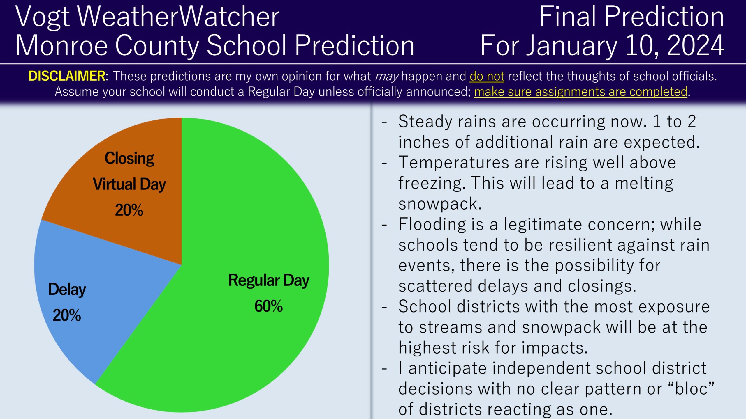
Good evening everyone! I hope your week is progressing well. Attached is the FINAL Prediction for Wednesday, January 10, 2024.
1 to 2 inches of additional rain, with locally higher amounts, are anticipated over the next several hours. Snowpack is beginning to melt due to the rain and rising air temperatures. Winds are expected to remain gusty through the overnight, calming as dawn approaches. Rain should conclude before dawn as well.
For travel Wednesday morning, I do suspect there will be some flooded roadways and perhaps some downed trees or power lines, but I anticipate this to be more isolated to scattered in nature, not widespread or numerous. Comparing this event to similar events in the past, most school districts tend to stick with their normal schedule, but a handful of delays or closings could occur. A school district deciding to react or not in this situation really depends on the geographic position of the district (near streams or easily-floodable roadways), local power outage conditions, and preferences/tolerance of decision makers. Therefore, I am not anticipating a “bloc” of school districts to react the same, but rather individual school districts deciding matters on a case-by-case basis. (Technically, school districts do this all of the time, but they often coordinate or consult other districts in most winter weather situations). Therefore, I am anticipating a regular day for most, but with pop-up delays and closures here and there with no discernable pattern.
Keep an eye out for alerts tonight and into tomorrow morning. Be safe, do not drive through flood waters, and have a great rest of your evening!
