Good evening everyone and Happy Tuesday! Attached are the First Predictions for Thursday, February 3 and Friday, February 4, 2022.
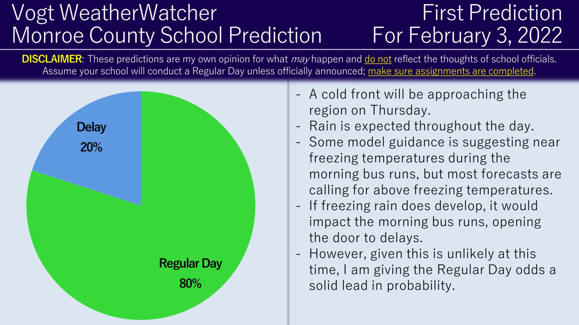
A cold front will be approaching the region on Thursday initially bringing rain to start. Some model guidance has been suggesting isolated pockets of freezing rain, but for now it looks like above freezing temperatures will be in place, allowing normal morning bus operations. I will be monitoring trends closely to see if forecasts turn colder, which would increase the delay (and perhaps closing/virtual day) odds for Thursday.
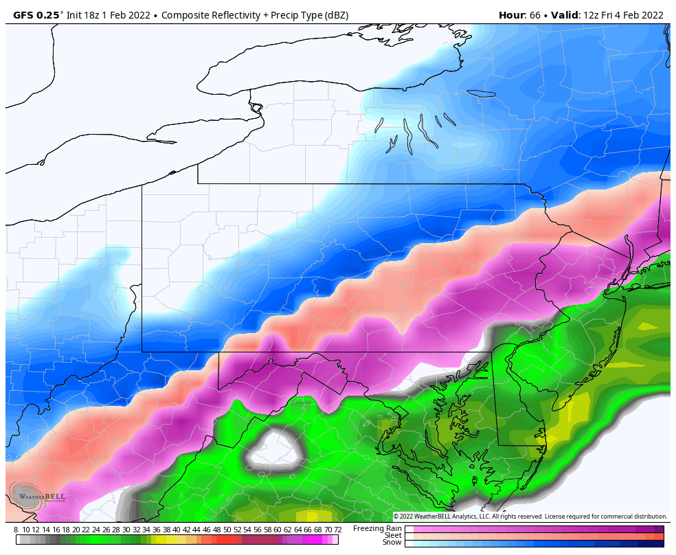
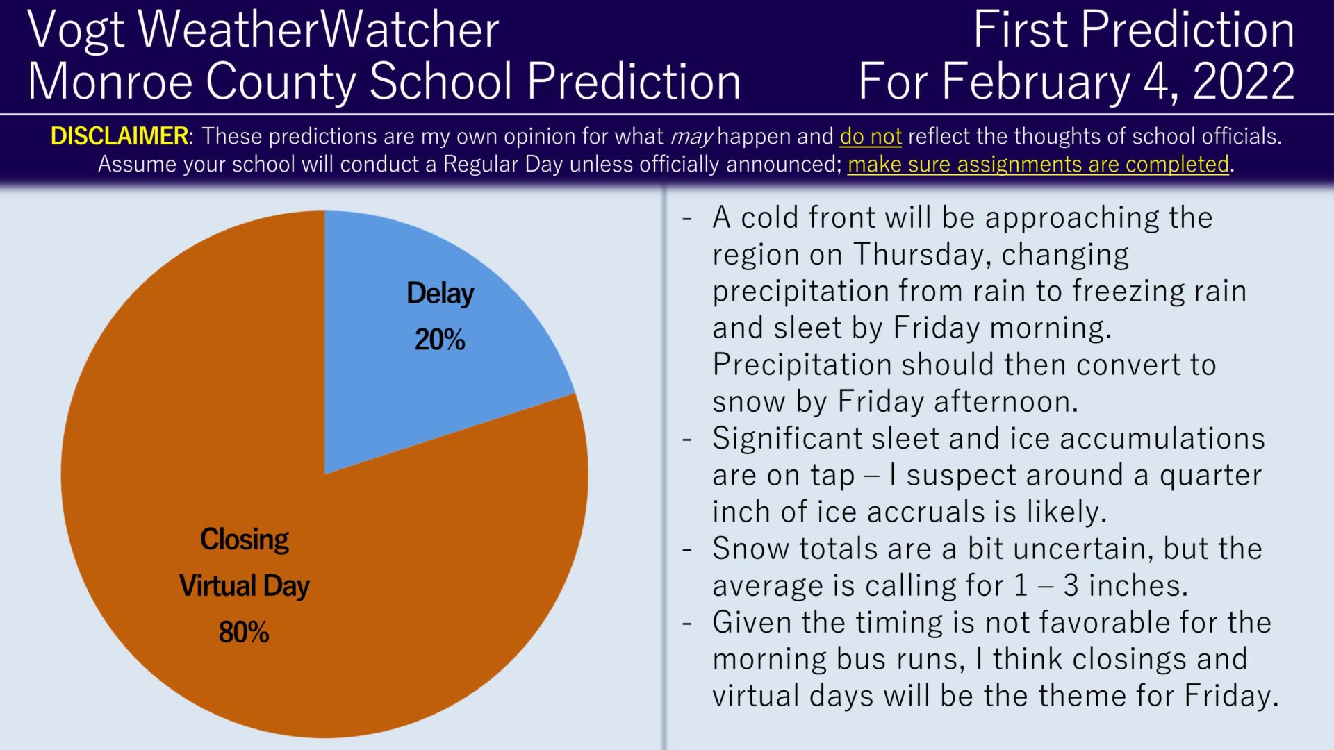
Starting late-Thursday night/Friday morning, temperatures will begin to drop below freezing. This will result in rain turning into freezing rain, sleet, then snow. Guidance suggests freezing rain/sleet conditions may occur for several hours before converting to snow, which should generate around 0.25 inches of ice accruals. Snow totals should be around 1 to 3 inches. The timing of this is not favorable at all for the morning bus runs, so I am favoring the closing/virtual day scenario and I expecting these odds to increase with time.
Tomorrow morning I will issue the Second Prediction for Thursday and tomorrow evening I will issue the Final Prediction for Thursday and the Second Prediction for Friday. I do want to mention if you want predictions more frequently, further in advance, and for your local county (in NEPA), I highly recommend checking out the Premium Site. Have a great evening everyone and thank you for the support!


