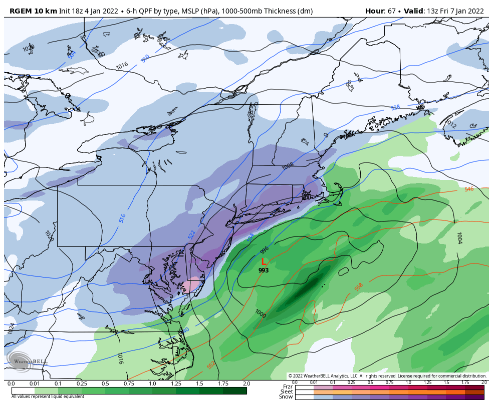
 Good evening everyone! I hope the New Year is off to a great start. Attached is the Final Prediction for January 5 and the First Prediction for January 7, 2022.
Sneaky freezing rain will be skirting the area tomorrow morning between 7 AM and 12 PM. Most of the freezing rain will be concentrated over Northern NJ. However, some freezing showers may cross over our area, delivering a few hundredths of an inch of ice. Both air and ground temperatures will be below freezing, supporting accumulations, which means the delay odds are pretty substation – however, the timing of the freezing rain is after the morning buses have completed half of their runs. If schools were to delay, they could be delaying into the ice, in a worse-case scenario. It actually may be better to stick to a Regular Day schedule to get ahead of the ice, which is what I am betting on. We’ll keep an eye out for trends in the morning; travel with caution regardless.
As for Friday, model guidance has been suggesting for quite some time that decent snows are on the table for our area. There has been a recent trend south and east away from our area – in some case suggesting a complete zero-inch bust. For now, I am going with 2 to 4 inches of snowfall from late Thursday night into Friday morning, which would have impacts on the morning bus runs. Model guidance can have a tendency to have a windshield wiper effect of going back and forth, which is why I am sticking with 2 to 4 inches and favoring the closing scenario. Let us watch the next 24 hours to see how things trend and we will adjust accordingly.
As a side note – a big thanks to those who recently signed up for Premium; it is greatly appreciated! If you have not joined yet, I recommend checking it out as it provides hourly predictions out to 7 days in advance for multiple counties throughout NEPA.
The Second Prediction for Friday will be issued tomorrow evening. Thanks everyone for the support and have a great rest of your evening!


