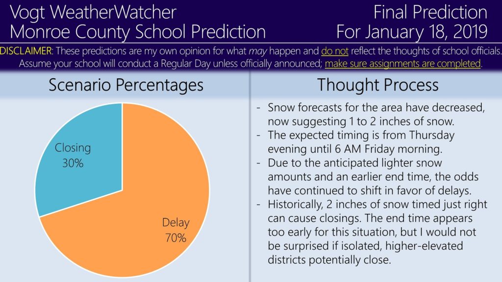
Good evening everyone. Attached is the FINAL Prediction for Friday, January 18, 2019.
1 to 2 inches of snow is expected from tonight until 6 AM. Historically, this amount of snow is “just right” for causing delays because too much or too little would bring into question closings or a regular day, respectively. This is why the delay odds have increased. Closings are not out of the question for some higher-elevated, isolated school districts, but they are increasingly unlikely — less snow and an earlier stop time are to blame.
In regards to this weekend, not much has changed from what was discussed earlier today. I agree with what EPAWA Weather Consulting has just forecasted for our area: 6 to 12 inches of snow and 0.25 to 0.5 inches of ice. This would be from Saturday evening until Sunday afternoon. While I am a snow lover, there is nothing good about ice; power outages are likely with this event. After the system passes, cold air rushing in behind it will freeze any slush on roadways; be mindful of this if you are traveling Monday morning. Wind Chill Advisory (and potentially Warning) criteria may be reach in some locations. Please prepare accordingly for this storm.
Now is a good time (if you have not already) to check out the Premium Site! It provides school predictions, road impacts, and weather forecasts for 12 counties across Northeastern PA, including Scranton, the Poconos, and the Lehigh Valley. Take a look!
https://34.73.99.199index.php/premium/
I plan on being up early tomorrow to monitor for school announcements. As a friendly reminder, I am not an excuse for not completing projects or homework assignments. ![]() Have a great rest of your evening and thank you for the support!
Have a great rest of your evening and thank you for the support!

