Good evening everyone. I hope your week is off to a good start.
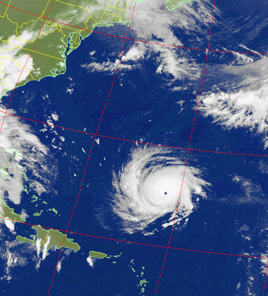
The latest model guidance and forecast tracks are indicating Florence will make landfall somewhere near the North Carolina/South Carolina border on Thursday. If you have any relatives in the Carolinas, especially North Carolina, make sure they are following local officials for preparations and/or evacuations. The two highest concerns are severe winds within 75 miles of the coast and heavy rainfall (with the highest amounts towards the middle part of North Carolina).
In regards to our area, no direct landfall or impacts are expected from Florence. However, Florence is anticipated to stall over the Carolinas for a few days; where Florence goes afterwards is unknown at this time. The worse-case scenario for the Poconos would be enhanced rainfall and local flooding in a week’s time; the best case is Florence dissipates in the mountains of the Carolinas or migrates out to sea away from the United States (after landfall).
I will provide updates as more information becomes available. Have a good evening everyone and stay safe.

