Good morning everyone. Attached is the FINAL Prediction for Thursday, February 22 and the Second Prediction for February 23, 2018.
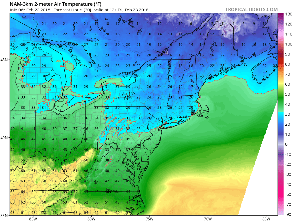
More precipitation than projected is occurring throughout the region this morning. Temperatures also appear slightly colder than forecast, which is why school districts to the north of us (Wayne Highlands, Forest Regional, etc.) have closed. This bias of being too warm is typical for model guidance during what are known as cold air damming events — when cold air settles in an area as warm air above is rushing in; these events can prolong icing.
Overall, my thoughts for both Thursday and Friday have not changed much. A Winter Weather Advisory is in effect between 4 PM and 11 PM today; the timing would suggest impacts to the activity bus runs. I still favor No Activities for today, but given the colder observations and the closing decisions by school districts to our north, I did give the Early Dismissal risk a higher probability than a Regular Day. In regards to Friday, I am concerned temperatures Thursday night will cause roadways to ice up, increasing travel risks to the morning bus runs on Friday. This delay risk would be in conflict with the early dismissal scenario for tomorrow (ice is expect to arrive around 1 PM) — generally speaking, early dismissals and delays cannot occur within the same day. For now, I do favor schools closing out of precaution, but I will not hesitate to adjust the percentages if it is warranted
I am aware Pocono Mountain students have off Friday, but parent-teacher conferences are going on and these could be affected by Friday’s weather. I will be back later this evening (around or just after 8 PM) with the Final Prediction for Friday. Make sure to pay attention to your local sources for any school announcements. Have a safe day everyone.


