Good afternoon everyone! I hope your weekend is off to a good start.
The Winter Storm Watch that was issued for our area is no longer in effect as the National Weather Service does not expect enough snow to warrant a Winter Storm Warning; they have instead issued a Winter Weather Advisory, calling for 3 to 5 inches of snow between 4 PM today and 4 AM tomorrow morning. Snowfall rates may be heavy at times. As long as you are not traveling this evening or during the overnight hours, you should be okay. Tomorrow morning should be a winter wonderland especially if sun manages to break through. I am not anticipating school impacts into President’s Day since there should be enough time to prepare the buildings and buses on Sunday — in fact, most schools should be off on Monday, unless the day is being used as a snow make-up day.
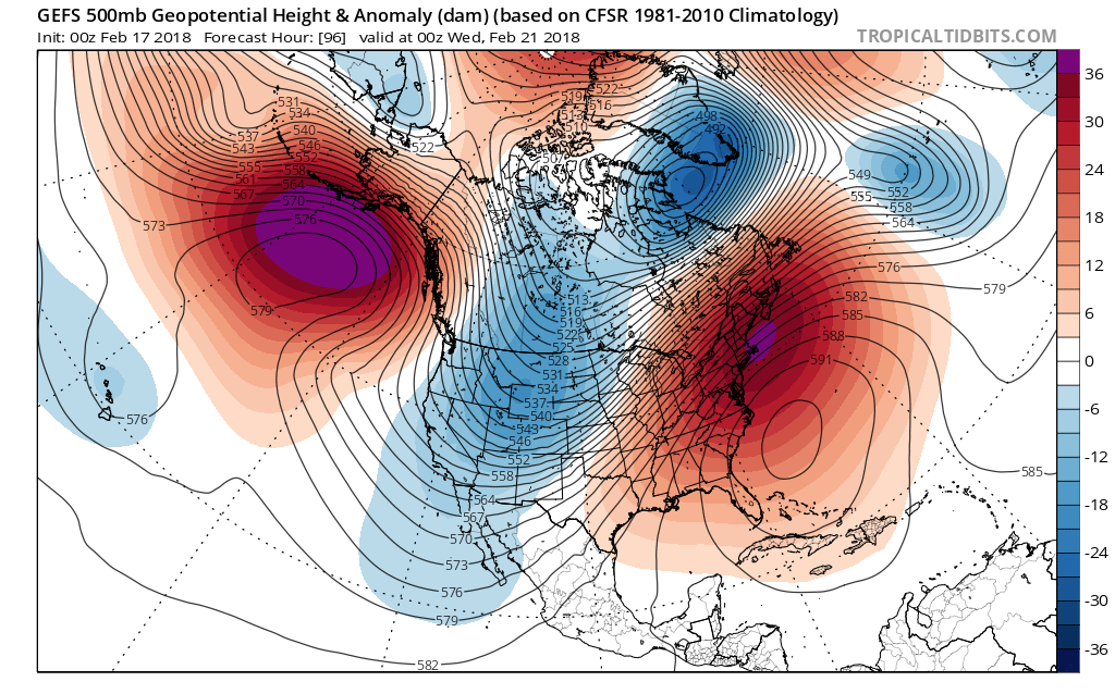
Ironically, we will be approaching the 60s and possibly the 70s this Tuesday and Wednesday. The rest of February looks like it will be warm compared to average with limited, if any, snow opportunities. With that said, we need to keep an eye on the first few weeks of March for storm activity. As a flashback, the March 2017 Blizzard was the main reason why many areas had above normal snowfall totals last year, despite the limited activity throughout that winter. While I am not calling for a historic snow storm, my point is winter is not over yet.
Have a great weekend everyone and be safe this evening.
