Good evening everyone. Attached is the FINAL Prediction for Tuesday, January 30, 2018.
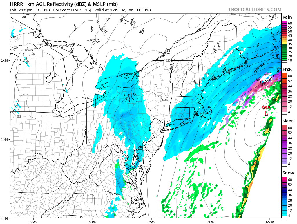
Model guidance and forecasts beginning to align: a trace to two inches of snow is likely to occur between 9/10 AM and 2/3 PM tomorrow. Given the increased confidence, the Regular Day odds have been reduced (but not eliminated).
The timing and accumulation of snow will be critical in determining how schools react tomorrow. The first consideration is the timing: the snow is expected to start right on the edge between squeezing in early dismissals and not having enough time to do so, which does not help confidence.
Furthermore, we are likely dealing with one inch of snow or less. While this might not seem significant, schools have reacted to one inch before (they even closed during one instance this winter). In addition, an intimidating radar image might cause districts to react out of precaution. I think these factors will counterbalance the limited snowfall consideration. With that said, I still think a Regular Day is possible if limited or no snowfall occurs.
This event still remains dynamical — any shift by an hour or any increase/decrease in snowfall could change how schools react (if at all) to tomorrow’s event. Make sure to pay attention to local sources throughout the morning tomorrow. Have a great evening everyone and thank you for the support.

