Good morning everyone. I hope your week has been off to a good start.
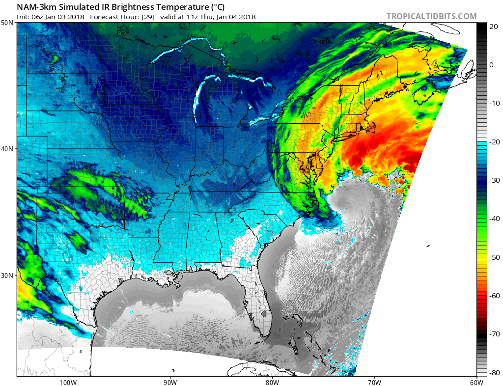
As you might have heard in the news, a significant winter storm is expected to impact New England. In terms of impacts to our area, my current forecast expects a coating to 2 inches of snow. The biggest problem for our area is a sharp cut-off in snowfall is anticipated to be near us — any shift west or east in the precipitation shield will result in significant changes in the snow forecast.
This also adds a hurdle for predicting school closures. I have noticed on some model guidance, the radar may show incoming snow around 5 AM — I have a feeling schools may close as a precaution if this scenario were to verify. I am currently favoring this outcome; but as stated before, the boom/bust potential is very high.
The storm is expected to bring potentially record-breaking cold temperatures to our area on Friday; dangerous wind chills are expected to accompany this cold air. The National Weather Service forecasts calls for wind chill values in the -20s — we are under a Wind Chill Watch. Generally speaking, wind chill values need to get to -30/-35 before closings start occurring; however, wind chill values under this situation are not expected to warm significantly even with a school delay. During similar past circumstances, schools typically reacted with widespread delays and a few isolated closings; I would not be surprised if a similar outcome occurs on Friday.
Keep an eye on the weather forecast for any changes particularly for Thursday. The Final Prediction for Thursday and the Second Prediction for Friday will be out tomorrow evening. Have a good day everyone!


