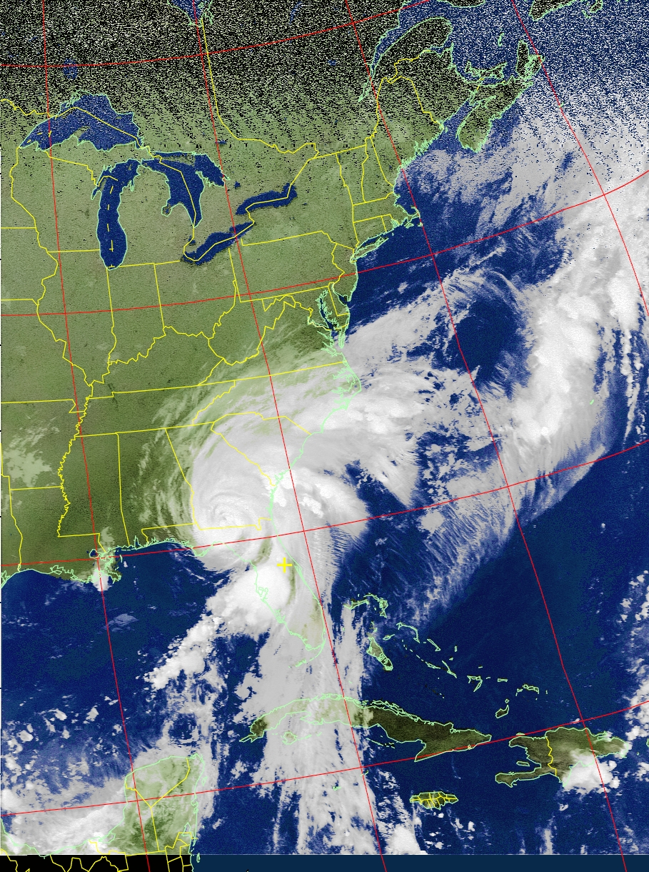
Good evening everyone. I do want to provide a quick update on #Hermine and its impacts to us locally and as a region.
Local — Based on current weather information, I still think the worse-case scenario for us would be consecutive breezy days and a few rain showers. Wind advisories could be issued, but this would not be a repeat of Sandy or Irene in terms of impacts for our area.
Regional — This is a different story though. Hermine is expected to stall off the Jersey Coast, resulting in high storm surge. Even though the winds would be weaker than Sandy, the long duration event (multiple days) would prevent water from exiting during lower tides; each tide builds on top of the other. The current worse-case scenario storm surge forecast for Atlantic City is 9.1 feet, which is tad higher than Sandy’s surge. Then we have to add flooding from rain into the mix and power outages.
If you have any plans for the Jersey Coast on Sunday, cancel them; conditions will be life-threatening along the ocean. If you have outdoor activities in New Jersey, I expect either rainy conditions or cloud cover and gusty winds, making the weather raw and unenjoyable. I will continue to monitor this event throughout the weekend; thank you for support.
