Good afternoon everyone. I hope your week was off to a good start.
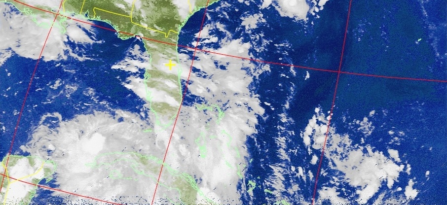
Over the past week, I have been tracking a tropical system which is currently in the Gulf of Mexico. As of the 2 PM advisory, the National Hurricane Center has upgraded this system to a Tropical Storm, naming it Hermine (her-mean). Below is the current National Hurricane Center forecast track.

The tropical storm is expected to move Northeast across Northern Florida and then travel along the Southeast coast. While the NHC has the system near Cape Cod on Monday, fresh model data and trends suggest a more westerly path along the New Jersey coast.
Now let me very clear: *if* this system were to go up the Mid-Atlantic coast, this would NOT be a repeat of Hurricane Sandy or Irene. The winds in this case would be much weaker than those storms; hypothetical conditions would be a light breeze and rain showers — nothing like Sandy. Hermine could also go out to sea and have no impacts on us at all.
I will continue to provide updates on Hermine as the week progresses. At this time, there is no need to change any Labor Day plans, but keep an eye on the forecast.
